


We have to double-check your registration and make sure this is not an automated entry in our system. Please complete the test below...
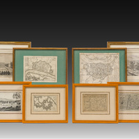
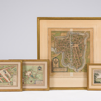
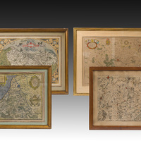
Three hand coloured engraved maps of Ieper, Roeselare, Lichtervelde and a view of Veurne, 16th/17th C.

360
Work: 34 x 32 cm (Hypra Flandriarum Civitas Munitissima, by Georg Braun and Frans Hogenberg., originally published in Civitates Orbis Terrarum, the first edition ca. 1572 and subsequent editions up to 1612)
Frame: 60 x 56 cm
Work: 23,5 x 15,5 cm (maps of Rousselare and Lichtervelde, Willem Jansz. Blaeu, around 1649)
Frame: 33,5 x 25,5 cm
Work: 15 x 10,5 cm (view of Veurne, by Sébastien de Pontault, chevalier de Beaulieu (c.1612-1674))
Frame: 27 x 22 cm
Estimate:
€ 150
-
€ 250